Shackleford Creek-Scott River Confluence Fish Passage Barrier Remediation Design
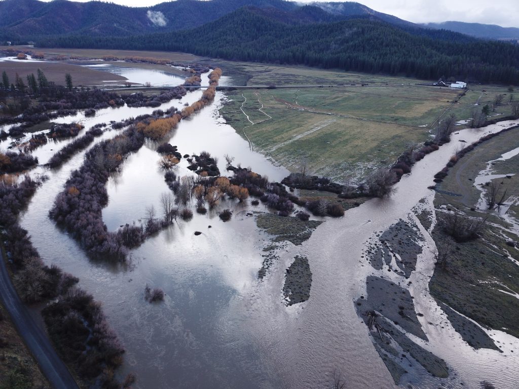
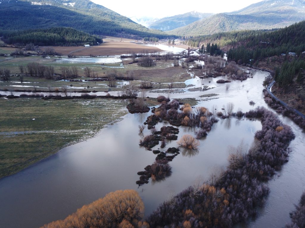
The Shackleford Creek-Scott River Confluence Fish Passage Barrier Remediation Design project will focus on developing comprehensive restoration designs to enhance salmonid passage at the confluence of Shackleford Creek and Scott River. This task involves a structured approach comprising four primary steps: conducting a baseline assessment, producing a digital terrain model (DTM), performing a hydrologic study and hydraulic modeling, and creating two conceptual restoration designs to 30% completion. Following this, a preferred option will be developed to a 65% design completion level. The results of these efforts will be systematically documented in the Shackleford Confluence Basis of Design Report. This project is in partnership with the Quartz Valley Indian Reservation and Stillwater Sciences.
Task 1: Shackleford Confluence Baseline Assessments
The baseline assessment serves as a foundational analysis, progressing through a range of technical studies led by the SRWC. These include analyzing historical conditions, utilizing LiDAR and photogrammetry for surveying, monitoring surface and groundwater elevations, and conducting flow studies. Stillwater Sciences will lead the geomorphic assessment, guided by a licensed professional geologist. Stillwater will also provide technical support for SRWC’s tasks by reviewing draft deliverables and incorporating finalized results into the Draft 1 Shackleford Confluence Basis of Design Report.
Deliverables for Task 1:
- Draft 1 Shackleford Confluence Basis of Design Report
Task 2: Development of DTM, Hydrologic Study, and Hydraulic Models
This step involves developing predictive tools and models to inform the design process. A DTM will be created alongside a hydrologic study and hydraulic models to evaluate the interaction between surface water and groundwater and predict flow patterns. These outputs will form part of the Draft 2 Shackleford Confluence Basis of Design Report.
Stillwater Sciences will lead the technical work, utilizing data provided by SRWC, including water surface elevation monitoring and storm event surveys. These data points will calibrate the hydraulic models and guide the overall restoration design.
Deliverables for Task 2:
- Digital Terrain Model (DTM)
- Project Reach Basemap
- Draft 2 Shackleford Confluence Basis of Design Report
Task 3: Conceptual Restoration Design (30%)
In this phase, two restoration options addressing fish passage barriers at the Shackleford Confluence will be developed to a 30% design completion. Stillwater will evaluate site conditions, constraints, and opportunities to prepare the designs, which will include AutoCAD Civil 3D drawings detailing proposed components like weirs, pumps, and infrastructure. Two-hour design review and prioritization workshops will be conducted to evaluate and refine the options.
The findings from this phase, including a restoration prioritization matrix and cost estimates, will be compiled into the Draft 3 Shackleford Confluence Basis of Design Report.
Deliverables for Task 3:
- Draft Shackleford Confluence Concept (30%) Restoration Plan Drawing Set
- Design Review and Prioritization Workshop
- Draft 3 Shackleford Confluence Basis of Design Report
- Final Concept (30%) Restoration Plan Drawing Set
Task 4: Intermediate Restoration Design (65%)
The preferred restoration option will advance to an intermediate (65%) design level, encompassing detailed cross-sections, functionality descriptions, and planting zones. Costs will be updated based on refined design details, and Draft and Final Intermediate Plan Drawing Sets will be developed. The Final Shackleford Confluence Basis of Design Report will integrate all relevant details, including updated costs and designs.
Deliverables for Task 4:
- Final Shackleford Confluence Basis of Design Report with updated costs
- Draft Intermediate (65%) Restoration Plan Drawing Set
- Final Intermediate (65%) Restoration Plan Drawing Set


